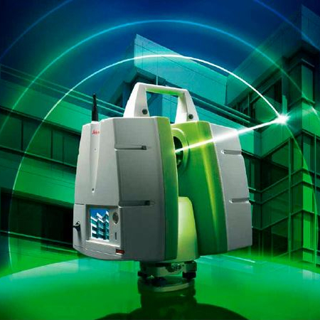
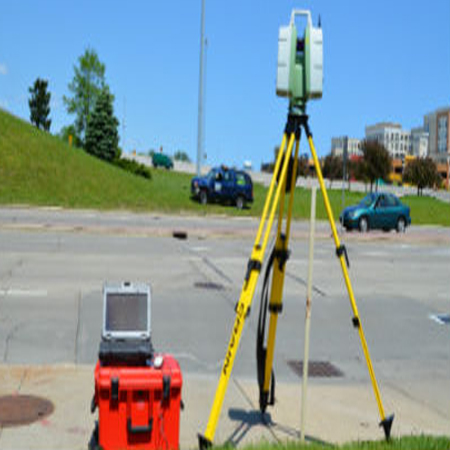
3D LASER SURVEYING
3D Laser Scanning, is fast becoming the industry norm for precision surveying in high precision and high value technical environments. Our high definition Leica P40 Scanner Station gather a large amount of field information in a very short period of time.
The process works by capturing a series of high definition 3D laser scans on site that can be processed immediately for analysis. Now, it is quickly becoming the new industry standard as GPR is able to detect non-metallic as well as metallic pipes. It will also give an indication of the location and depth of buried services.
UNDERGROUND SURVEYS
Arabian Surveys use both non-intrusive investigations and direct access survey methods to provide a clear understanding of buried services, utilities and hazards necessary for many aspects of construction projects.
This data reduces the need for expensive excavations or delays by identifying safe and clear areas for all excavations, boreholes, piles and trial pits. All our underground survey teams are fully trained and equipped with the latest technology including multi-frequency electro-magnetic equipment, and dual-frequency Ground Penetrating Radar (GPR)
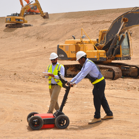

GROUND PENETRATING RADAR (GPR)
GPR survey can prove effective at locating archaeological features underneath a wide range of surfaces that cannot be surveyed by any other geophysical technique. Good results can be obtained underneath concrete, stone, tarmac and through grass and soil. In addition, an indication of depth can be provided which may prove highly useful where intrusive work is required.
Careful timing of the returned radio waves along with calculations of the ground's dielectric constant can allow an estimate of depth to be made.
TRAFFIC SURVEYING
Arabian Survey Engineering targets to deliver consulting services in the field of Survey Engineering, Traffic Data Collection, Environmental Studies, Traffic Impact Studies as well as quality field data collection with utmost accuracy. Our expert team is also capable of conducting large scale Transport Surveys required for developing city-wide transport demand models and manual Trip Generation. In addition, we offer full range of traffic engineering services.
We are highly capability of providing full assistance with intelligent transportation, parking management, security, communications, integrated systems in traffic management. To deliver our clients with clear, accurate and easy to read data summaries on time.
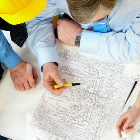
CAD / GIS Services
We provide complete CAD Conversion services from GIS to CAD format conversion, CAD to GIS format conversion, CAD Drafting, paper to CAD conversions etc. with precision and quality Assurance standards. We assist you, with our leading CAD conversion techniques, to handle, store and maintain information from paper drawings to electronic media and protect these from possible damages or loss of data. Moreover computer aided drawings can also be mapped with geographical co-ordinates through our CAD to GIS conversion techniques. We also offer parcel/cadastral mapping services
With our GIS services, we offer accurate georeferencing / geocoding of your projects at affordable prices. We are capable of various geospatial analytical procedures for users in agriculture, transport, electrical network, water supplies, sewage, etc.
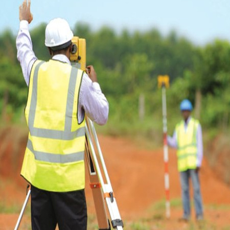
LAND SURVEYING
Using the latest geometric technology including; reflector less theodolites, robotic instruments, survey quality GPS and one-man total stations we provide our clients and their consultants with accurate and economical survey solutions for all aspects of land surveying. Our software can produce data in any format, including AutoCAD, for all measured land survey types including; 3D digital terrain models, DTM, volume or area calculations, sections and setting-out schedules.
Our land survey services are provided throughout the UAE and GCC. Whether you require assistance with topographical, engineering, boundaries or GPS survey we have the Survey Solutions.